Surveying accessories are essential tools and equipment used by surveyors to assist in the measurement, mapping, and documentation of land and other physical features.
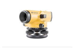
Increase your efficiency at a structural work sites when checking layouts or estimating heights. With the Leica Jogger levels, these jobs are done quickly.
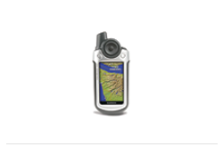
A handheld GPS unit is great for geocaching, hunting, hiking, camping, or just exploring the world around you. Unlike a car GPS, a handheld unit is designed for exploring more rugged terrain.
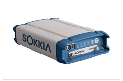
GPS/GNSS solutions are advanced technologies that utilize satellite signals to determine precise positioning, navigation, and timing information.
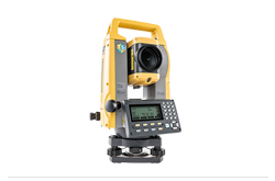
We offer a range of highly precise and accurate Total Stations. Each uses the latest distance technology to take advantage of a powerful suite of on-board programs and many sensor and accuracy options.
05, Ground Floor, Business Arcade, Block 6 PECHS, Main Sharah e Faisal, Karachi
021-111-633-675 (NEDOPK)
(+92) 21 34311582, 34311586,
34311595, 34311596
+92-21-34311590 +92-3018216106
Suite No 14, 4th Floor, AL-Hafeez Tower, 26-C/1, M.M. Alam Road, Gulberg-III, Lahore
+92-42-35785591-2, 0321-2422304
1st Floor, Suite No 1, Plot No 96, Street No 32, I&T Centre, G-9/1, Islamabad
+92-51-2376184-5, 0345-5297000


Copyright 2008-2026 NEDO Corporation All Rights Reserved